North Quay
Introduction
The photograph on this page of North Quay by Simon Carey as part of the Geograph project.
The Geograph project started in 2005 with the aim of publishing, organising and preserving representative images for every square kilometre of Great Britain, Ireland and the Isle of Man.

There are currently over 7.5m images from over 14,400 individuals and you can help contribute to the project by visiting https://www.geograph.org.uk
North Quay
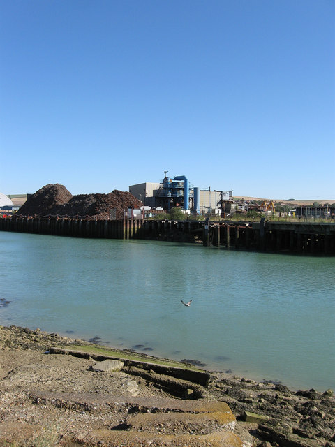
Image: © Simon Carey Taken: 26 Aug 2012
Viewed from a disused slipway on Denton Island. The quay is on the part of the river that was straightened in the 1860s and created Denton Island in the process, it is one of two of the original four quays of the harbour still in use, its mainstays being scrap metal and aggregates.
Images are licensed for reuse under creativecommons.org/licenses/by-sa/2.0
Image Location
Latitude
50.797183
Longitude
0.050876