Old Cut, River Ouse
Introduction
The photograph on this page of Old Cut, River Ouse by Simon Carey as part of the Geograph project.
The Geograph project started in 2005 with the aim of publishing, organising and preserving representative images for every square kilometre of Great Britain, Ireland and the Isle of Man.

There are currently over 7.5m images from over 14,400 individuals and you can help contribute to the project by visiting https://www.geograph.org.uk
Old Cut, River Ouse
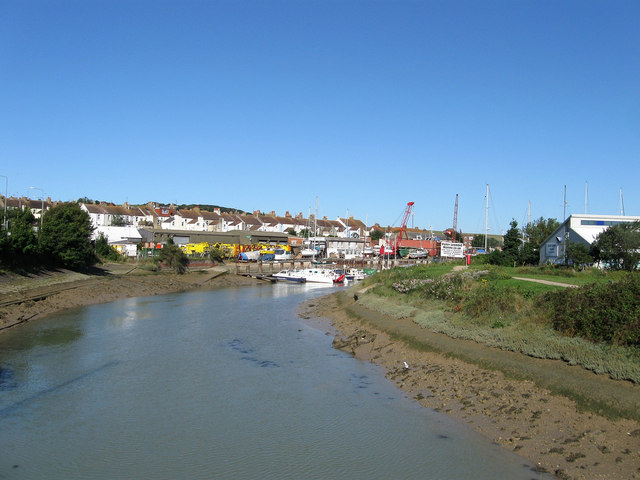
Image: © Simon Carey Taken: 26 Aug 2012
The original meander of the river that was loped off during the straightening in the 1860s creating Denton Island in the process. Now used as mooring for small pleasure craft this cut also contains a number of chandleries and boat yards, one straight ahead and one on the island.
Images are licensed for reuse under creativecommons.org/licenses/by-sa/2.0
Image Location
Latitude
50.795428
Longitude
0.048386