Bridge over overflow weir, Chesterfield Canal
Introduction
The photograph on this page of Bridge over overflow weir, Chesterfield Canal by Christine Johnstone as part of the Geograph project.
The Geograph project started in 2005 with the aim of publishing, organising and preserving representative images for every square kilometre of Great Britain, Ireland and the Isle of Man.

There are currently over 7.5m images from over 14,400 individuals and you can help contribute to the project by visiting https://www.geograph.org.uk
Bridge over overflow weir, Chesterfield Canal
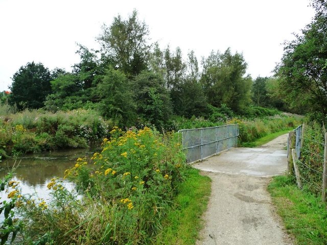
Image: © Christine Johnstone Taken: 27 Aug 2012
The overflow passes into Tinkers Sink, which itself is soon absorbed by the River Rother.
Images are licensed for reuse under creativecommons.org/licenses/by-sa/2.0
Image Location
Latitude
53.255191
Longitude
-1.416739