Manor Farm, Treyford
Introduction
The photograph on this page of Manor Farm, Treyford by Robin Webster as part of the Geograph project.
The Geograph project started in 2005 with the aim of publishing, organising and preserving representative images for every square kilometre of Great Britain, Ireland and the Isle of Man.

There are currently over 7.5m images from over 14,400 individuals and you can help contribute to the project by visiting https://www.geograph.org.uk
Manor Farm, Treyford
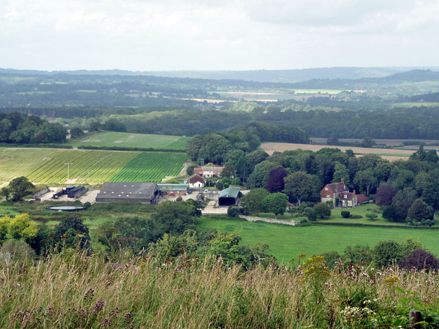
Image: © Robin Webster Taken: 28 Aug 2012
The farm is the principal feature of the village of Treyford, there are just a handful of houses and a very ruined church.
Images are licensed for reuse under creativecommons.org/licenses/by-sa/2.0
Image Location
Latitude
50.961667
Longitude
-0.828486