A505 From Omagh to Cookstown
Introduction
The photograph on this page of A505 From Omagh to Cookstown by Gordon Dunn as part of the Geograph project.
The Geograph project started in 2005 with the aim of publishing, organising and preserving representative images for every square kilometre of Great Britain, Ireland and the Isle of Man.

There are currently over 7.5m images from over 14,400 individuals and you can help contribute to the project by visiting https://www.geograph.org.uk
A505 From Omagh to Cookstown
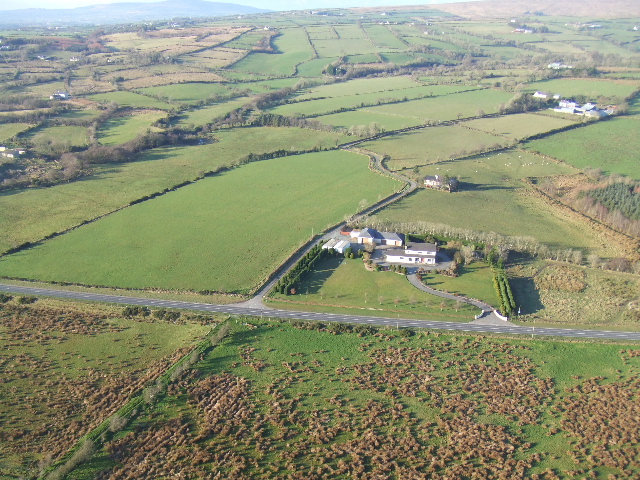
Image: © Gordon Dunn Taken: 28 Jan 2006
Main road from Omagh to Cookstown- just before Mountfield.
Images are licensed for reuse under creativecommons.org/licenses/by-sa/2.0
Image Location
Latitude
54.612283
Longitude
-7.23206