2012 : Track on Burledge Common
Introduction
The photograph on this page of 2012 : Track on Burledge Common by Maurice Pullin as part of the Geograph project.
The Geograph project started in 2005 with the aim of publishing, organising and preserving representative images for every square kilometre of Great Britain, Ireland and the Isle of Man.

There are currently over 7.5m images from over 14,400 individuals and you can help contribute to the project by visiting https://www.geograph.org.uk
2012 : Track on Burledge Common
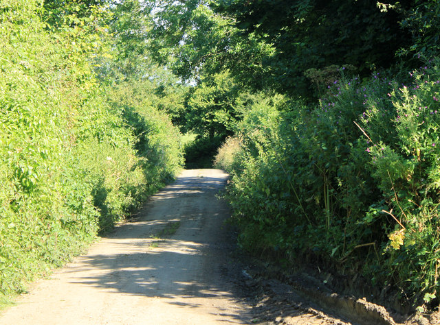
Image: © Maurice Pullin Taken: 20 Aug 2012
No name that I could discover, starts at the crossroads at White Cross, goes due west across the hill to the A368 near North Widcombe. Drivable from White Cross to this point then becomes rough. Didn't fancy it in my C1.
Images are licensed for reuse under creativecommons.org/licenses/by-sa/2.0
Image Location


Leaflet Map data © OpenStreetMap
Latitude
51.323929
Longitude
-2.590924