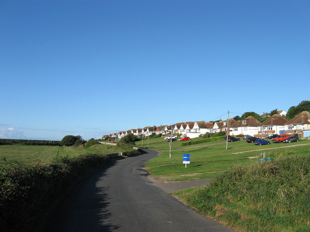
Bishopstone Road
Introduction
The photograph on this page of Bishopstone Road by Simon Carey as part of the Geograph project.
The Geograph project started in 2005 with the aim of publishing, organising and preserving representative images for every square kilometre of Great Britain, Ireland and the Isle of Man.
There are currently over 7.5m images from over 14,400 individuals and you can help contribute to the project by visiting https://www.geograph.org.uk

Image: © Simon Carey Taken: 26 Aug 2012
The public highway to Bishopstone and Norton passes the eastern end of Rookery Hill estate. The flint wall on the left is listed and was built to protect the drive to Bishopstone Place which was the original use of this road. Public access to Bishopstone during the medieval period went via Denton and Poverty Bottom before continuing eastwards via Silver Lane to East Blatchington then Seaford.

