Tumuli, Rookery Hill
Introduction
The photograph on this page of Tumuli, Rookery Hill by Simon Carey as part of the Geograph project.
The Geograph project started in 2005 with the aim of publishing, organising and preserving representative images for every square kilometre of Great Britain, Ireland and the Isle of Man.

There are currently over 7.5m images from over 14,400 individuals and you can help contribute to the project by visiting https://www.geograph.org.uk
Tumuli, Rookery Hill
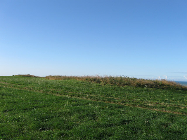
Image: © Simon Carey Taken: 26 Aug 2012
Rookery Hill is rich with archeology dating from the neolithic onwards. These two barrows lie near the peak of the hill and would have commanded views over the valley containing the village of Bishopstone as well as the sea.
Images are licensed for reuse under creativecommons.org/licenses/by-sa/2.0
Image Location
Latitude
50.789467
Longitude
0.080334