2012 : A368 Roadworks on Wick Road, Bishop Sutton
Introduction
The photograph on this page of 2012 : A368 Roadworks on Wick Road, Bishop Sutton by Maurice Pullin as part of the Geograph project.
The Geograph project started in 2005 with the aim of publishing, organising and preserving representative images for every square kilometre of Great Britain, Ireland and the Isle of Man.

There are currently over 7.5m images from over 14,400 individuals and you can help contribute to the project by visiting https://www.geograph.org.uk
2012 : A368 Roadworks on Wick Road, Bishop Sutton
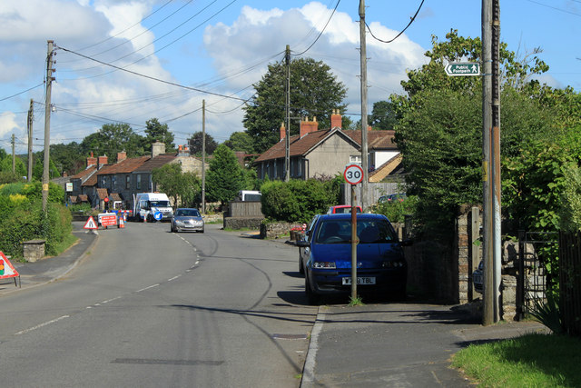
Image: © Maurice Pullin Taken: 20 Aug 2012
In the introduction to their website Bishop Sutton says "This website was created to provide information to local residents, and those over the hill" Well that's me. In spite of this I give you a link to and a quote from an interesting village website http://www.bishopsutton.org.uk/about-the-village/ "Bishop Sutton is a small village within the Chew Valley in NE Somerset. It lies south of Chew Valley Lake and north of the Mendip Hills, approximately ten miles south of Bristol on the A368, Weston-super-Mare to Bath road. Bishop Sutton and the neighbouring village of Stowey form the civil parish of Stowey Sutton."
Images are licensed for reuse under creativecommons.org/licenses/by-sa/2.0
Image Location
Latitude
51.331165
Longitude
-2.600203