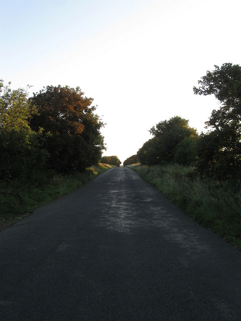
Grand Avenue
Introduction
The photograph on this page of Grand Avenue by Simon Carey as part of the Geograph project.
The Geograph project started in 2005 with the aim of publishing, organising and preserving representative images for every square kilometre of Great Britain, Ireland and the Isle of Man.
There are currently over 7.5m images from over 14,400 individuals and you can help contribute to the project by visiting https://www.geograph.org.uk

Image: © Simon Carey Taken: 26 Aug 2012
Laid out in the 1930s as the spine of a new coastal town that was to be based around Bishopstone. By the outbreak of the war this road, Image, a few houses on Image, and a new station had been completed. Work stopped and would never start again after post war shortages and the new tougher 1947 Town Planning Act bought proceedings to a halt. Rookery Hill was completed by the early 1970s and the area on Hawth Hill around the station detached from the rest by the construction of the Buckle By-Pass in 1963 was also completed during the same period. However, Grand Avenue whose planners envisaged houses and other roads branching off the highway has become a country lane and a local access route for those wishing to get to the northern end of East Blatchington, now a suburb of Seaford.

