Lock farm
Introduction
The photograph on this page of Lock farm by Roger Cornfoot as part of the Geograph project.
The Geograph project started in 2005 with the aim of publishing, organising and preserving representative images for every square kilometre of Great Britain, Ireland and the Isle of Man.

There are currently over 7.5m images from over 14,400 individuals and you can help contribute to the project by visiting https://www.geograph.org.uk
Lock farm
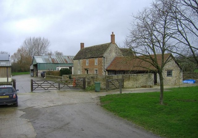
Image: © Roger Cornfoot Taken: 12 Jan 2007
Located next to the old Wilts and Berks canal. (A restored lock is to be found, up a track, behind the farm).
Images are licensed for reuse under creativecommons.org/licenses/by-sa/2.0
Image Location


Leaflet Map data © OpenStreetMap
Latitude
51.494999
Longitude
-2.027608