Village street, Upton Pyne
Introduction
The photograph on this page of Village street, Upton Pyne by Derek Harper as part of the Geograph project.
The Geograph project started in 2005 with the aim of publishing, organising and preserving representative images for every square kilometre of Great Britain, Ireland and the Isle of Man.

There are currently over 7.5m images from over 14,400 individuals and you can help contribute to the project by visiting https://www.geograph.org.uk
Village street, Upton Pyne
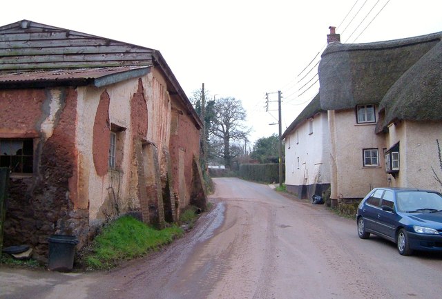
Image: © Derek Harper Taken: 16 Mar 2006
A reverse view of Image, with the red buttressed outbuilding of Pierce's Farm on the left. On the right is the east end of Image
Images are licensed for reuse under creativecommons.org/licenses/by-sa/2.0
Image Location
Latitude
50.768353
Longitude
-3.546345