West end of Dagmar Street looking east
Introduction
The photograph on this page of West end of Dagmar Street looking east by Robin Stott as part of the Geograph project.
The Geograph project started in 2005 with the aim of publishing, organising and preserving representative images for every square kilometre of Great Britain, Ireland and the Isle of Man.

There are currently over 7.5m images from over 14,400 individuals and you can help contribute to the project by visiting https://www.geograph.org.uk
West end of Dagmar Street looking east
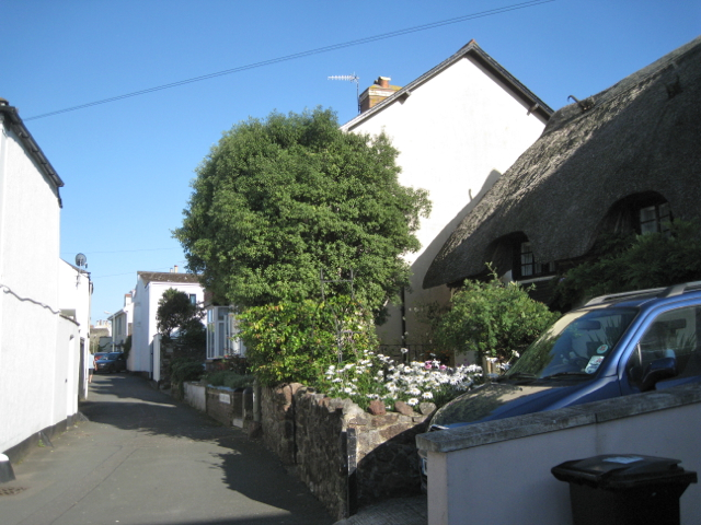
Image: © Robin Stott Taken: 20 Aug 2012
Figuring out Shaldon's street names is a challenge in places. This is clearly signed Dagmar Street although the pair of houses behind the tree has its own street nameplate: Waverley Terrace, which is the name that appears on the local street map.
Images are licensed for reuse under creativecommons.org/licenses/by-sa/2.0
Image Location
Latitude
50.540162
Longitude
-3.507397