Banky Brook
Introduction
The photograph on this page of Banky Brook by Simon Carey as part of the Geograph project.
The Geograph project started in 2005 with the aim of publishing, organising and preserving representative images for every square kilometre of Great Britain, Ireland and the Isle of Man.

There are currently over 7.5m images from over 14,400 individuals and you can help contribute to the project by visiting https://www.geograph.org.uk
Banky Brook
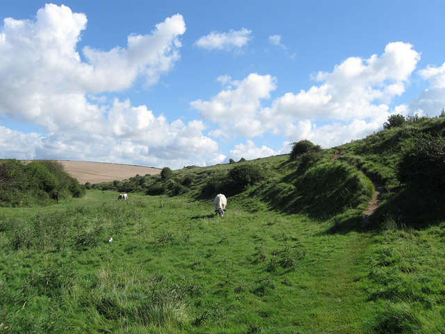
Image: © Simon Carey Taken: 23 Aug 2012
The name of the field according to Bishopstone's 1844 tithe map that was once part of a tidal inlet that linked Bishopstone to the sea. What were former low cliffs are visible to the right as the ground slopes upwards.
Images are licensed for reuse under creativecommons.org/licenses/by-sa/2.0
Image Location


Leaflet Map data © OpenStreetMap
Latitude
50.783791
Longitude
0.085898