Maes-y-Pwll woodland path sign
Introduction
The photograph on this page of Maes-y-Pwll woodland path sign by chris whitehouse as part of the Geograph project.
The Geograph project started in 2005 with the aim of publishing, organising and preserving representative images for every square kilometre of Great Britain, Ireland and the Isle of Man.

There are currently over 7.5m images from over 14,400 individuals and you can help contribute to the project by visiting https://www.geograph.org.uk
Maes-y-Pwll woodland path sign
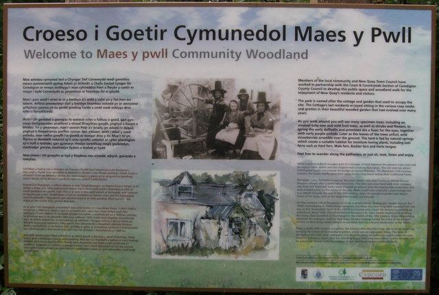
Image: © chris whitehouse Taken: 26 Jul 2012
Very interesting facts about this small area of garden with woodland.
Images are licensed for reuse under creativecommons.org/licenses/by-sa/2.0
Image Location
Latitude
52.210514
Longitude
-4.356769