Crossing the Moortown Brook
Introduction
The photograph on this page of Crossing the Moortown Brook by Derek Harper as part of the Geograph project.
The Geograph project started in 2005 with the aim of publishing, organising and preserving representative images for every square kilometre of Great Britain, Ireland and the Isle of Man.

There are currently over 7.5m images from over 14,400 individuals and you can help contribute to the project by visiting https://www.geograph.org.uk
Crossing the Moortown Brook
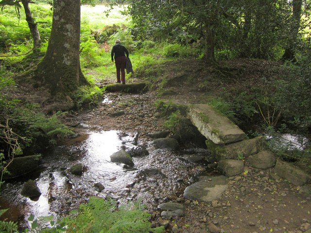
Image: © Derek Harper Taken: 26 Aug 2012
Gidleigh Footpath 2 crosses the brook (which flows to the right) using this single slab bridge amid woodland. This is also the Mariner's Way.
Images are licensed for reuse under creativecommons.org/licenses/by-sa/2.0
Image Location
Latitude
50.684389
Longitude
-3.886021