Crossways
Introduction
The photograph on this page of Crossways by RAY JONES as part of the Geograph project.
The Geograph project started in 2005 with the aim of publishing, organising and preserving representative images for every square kilometre of Great Britain, Ireland and the Isle of Man.

There are currently over 7.5m images from over 14,400 individuals and you can help contribute to the project by visiting https://www.geograph.org.uk
Crossways
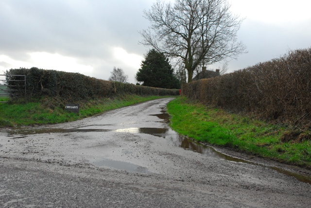
Image: © RAY JONES Taken: 12 Jan 2007
Crossways Farm, now a private residence and named Crossways. In older times known possibly more appropriately as THE CROSS. This is the junction of the FIRS Road (running N/S) and an ancient unpaved road (running W/E). This old road was reputed, in ancient times to be the "main" road from Abergavenny to Whitecastle, a medieval Castle 5 miles to the East. The old road is a public right of way, it is still usable/walkable, but some of it has been levelled and cleared by the nearby land owners.
Images are licensed for reuse under creativecommons.org/licenses/by-sa/2.0
Image Location
Latitude
51.836202
Longitude
-2.933161