Whitehall Farm
Introduction
The photograph on this page of Whitehall Farm by Alan Walker as part of the Geograph project.
The Geograph project started in 2005 with the aim of publishing, organising and preserving representative images for every square kilometre of Great Britain, Ireland and the Isle of Man.

There are currently over 7.5m images from over 14,400 individuals and you can help contribute to the project by visiting https://www.geograph.org.uk
Whitehall Farm
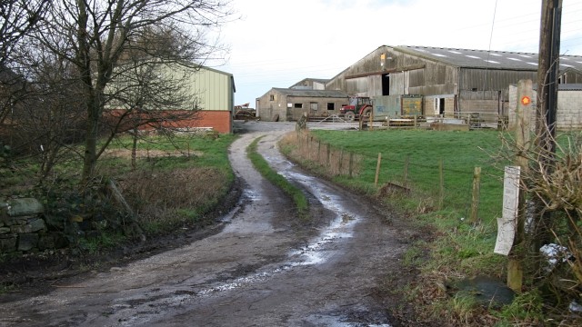
Image: © Alan Walker Taken: 12 Jan 2007
About half way along Back Lane there is a 90° bend. The track to the farm buildings shown in the picture joins Back Lane at that bend. This track is shared by a footpath to Image Behind the viewpoint Image has a junction with Image To the left of the picture Image continues toward its junction with Image To see a photograph from the other end of the lane but looking back (southerly), toward this viewpoint, click here, Image For another view of the farm, click here: Image
Images are licensed for reuse under creativecommons.org/licenses/by-sa/2.0
Image Location
Latitude
53.161277
Longitude
-1.367908