Greenock and the Firth of Clyde
Introduction
The photograph on this page of Greenock and the Firth of Clyde by Thomas Nugent as part of the Geograph project.
The Geograph project started in 2005 with the aim of publishing, organising and preserving representative images for every square kilometre of Great Britain, Ireland and the Isle of Man.

There are currently over 7.5m images from over 14,400 individuals and you can help contribute to the project by visiting https://www.geograph.org.uk
Greenock and the Firth of Clyde
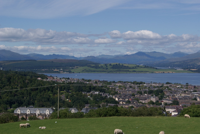
Image: © Thomas Nugent Taken: 8 Aug 2012
Viewed from Old Largs Road at the Old Waterhouse. The wooded area on the left is Greenock Cemetery.
Images are licensed for reuse under creativecommons.org/licenses/by-sa/2.0
Image Location


Leaflet Map data © OpenStreetMap
Latitude
55.937948
Longitude
-4.769565