A3
Introduction
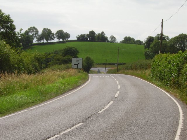
The photograph on this page of A3 by Richard Webb as part of the Geograph project.
The Geograph project started in 2005 with the aim of publishing, organising and preserving representative images for every square kilometre of Great Britain, Ireland and the Isle of Man.
There are currently over 7.5m images from over 14,400 individuals and you can help contribute to the project by visiting https://www.geograph.org.uk

Image: © Richard Webb Taken: 6 Jul 2006
For a few miles the N54 Cavan - Monaghan road becomes the A3 as it passes into Co. Fermanagh. Soon afterwards it returns to the Republic of Ireland as it crossed a pocket of Co. Monaghan almost completely surrounded by Fermanagh. Slightly disorienting seeing familiar styles of road sign briefly appear. Often these signs act as a reminder - did you remember to fill your tank. At time of writing diesel was far cheaper in the Republic than in Northern Ireland. This is classic eggs in a basket drumlin country.

