The Long Brook (1)
Introduction
The photograph on this page of The Long Brook (1) by Simon Carey as part of the Geograph project.
The Geograph project started in 2005 with the aim of publishing, organising and preserving representative images for every square kilometre of Great Britain, Ireland and the Isle of Man.

There are currently over 7.5m images from over 14,400 individuals and you can help contribute to the project by visiting https://www.geograph.org.uk
The Long Brook (1)
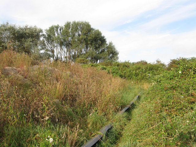
Image: © Simon Carey Taken: 23 Aug 2012
The name of the field according to Bishopstone's 1844 tithe map that is now part of Newhaven and is being raised for future development. A footpath runs from the old Parker Pen Factory through the Ouse Estuary Nature Reserve to the A259. See also Image
Images are licensed for reuse under creativecommons.org/licenses/by-sa/2.0
Image Location
Latitude
50.793524
Longitude
0.059513