Regent Cottage, Berrylands
Introduction
The photograph on this page of Regent Cottage, Berrylands by Robin Webster as part of the Geograph project.
The Geograph project started in 2005 with the aim of publishing, organising and preserving representative images for every square kilometre of Great Britain, Ireland and the Isle of Man.

There are currently over 7.5m images from over 14,400 individuals and you can help contribute to the project by visiting https://www.geograph.org.uk
Regent Cottage, Berrylands
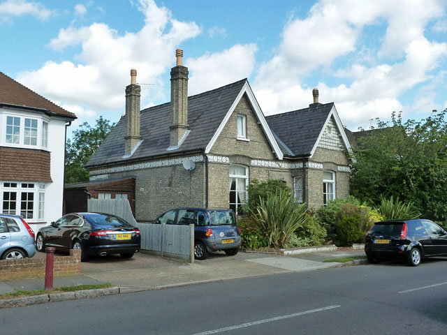
Image: © Robin Webster Taken: 26 Aug 2012
A survivor from the late Victorian Regent House grounds, which are otherwise now covered in suburban housing. From its position on old maps, it could have been the gardener's cottage.
Images are licensed for reuse under creativecommons.org/licenses/by-sa/2.0
Image Location
Latitude
51.393257
Longitude
-0.290849