Bench Mark All Saint's Church
Introduction
The photograph on this page of Bench Mark All Saint's Church by Martin Dawes as part of the Geograph project.
The Geograph project started in 2005 with the aim of publishing, organising and preserving representative images for every square kilometre of Great Britain, Ireland and the Isle of Man.

There are currently over 7.5m images from over 14,400 individuals and you can help contribute to the project by visiting https://www.geograph.org.uk
Bench Mark All Saint's Church
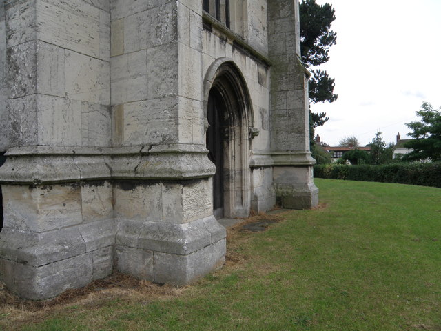
Image: © Martin Dawes Taken: 23 Aug 2012
At the base of the tower. Third stone up on the left front.
Images are licensed for reuse under creativecommons.org/licenses/by-sa/2.0
Image Location
Latitude
53.675928
Longitude
-0.333215