Aleck Low
Introduction
The photograph on this page of Aleck Low by Jonathan Clitheroe as part of the Geograph project.
The Geograph project started in 2005 with the aim of publishing, organising and preserving representative images for every square kilometre of Great Britain, Ireland and the Isle of Man.

There are currently over 7.5m images from over 14,400 individuals and you can help contribute to the project by visiting https://www.geograph.org.uk
Aleck Low
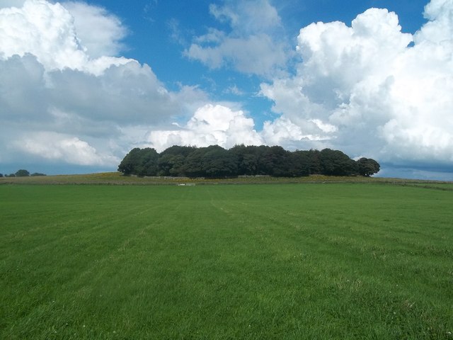
Image: © Jonathan Clitheroe Taken: 25 Aug 2012
A densely wooded and rocky hill summit viewed here from the footpath which passes to the south of the site. The tumulus itself is situated to the right of the thicket and is of the round barrow type.
Images are licensed for reuse under creativecommons.org/licenses/by-sa/2.0
Image Location
Latitude
53.131844
Longitude
-1.742889