The Blasted Oak
Introduction
The photograph on this page of The Blasted Oak by michael as part of the Geograph project.
The Geograph project started in 2005 with the aim of publishing, organising and preserving representative images for every square kilometre of Great Britain, Ireland and the Isle of Man.

There are currently over 7.5m images from over 14,400 individuals and you can help contribute to the project by visiting https://www.geograph.org.uk
The Blasted Oak
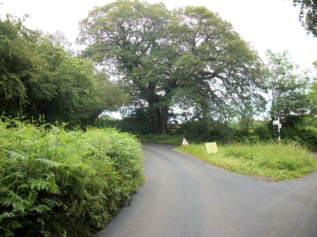
Image: © michael Taken: 15 Jul 2012
Many people thought this tree was hit by lightning hence its name locally. The split was caused when a rope was fixed to it to help remove the wreckage of a plane that crashed on 30th October 1942. A metal brace has been added to the trunk to prevent further splitting.
Images are licensed for reuse under creativecommons.org/licenses/by-sa/2.0
Image Location
Latitude
51.75643
Longitude
-0.695897