Shipps Field
Introduction
The photograph on this page of Shipps Field by Hugh Venables as part of the Geograph project.
The Geograph project started in 2005 with the aim of publishing, organising and preserving representative images for every square kilometre of Great Britain, Ireland and the Isle of Man.

There are currently over 7.5m images from over 14,400 individuals and you can help contribute to the project by visiting https://www.geograph.org.uk
Shipps Field
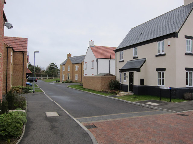
Image: © Hugh Venables Taken: 18 Mar 2012
Part of a new area of housing on the edge of Waterbeach. Beyond is Waterbeach Barracks, which is to be sold off for housing by 2015, so this may soon be closer to the middle rather than edge of Waterbeach.
Images are licensed for reuse under creativecommons.org/licenses/by-sa/2.0
Image Location
Latitude
52.272239
Longitude
0.192005