Pubs at the bottom of Wardle Road
Introduction
The photograph on this page of Pubs at the bottom of Wardle Road by Bill Boaden as part of the Geograph project.
The Geograph project started in 2005 with the aim of publishing, organising and preserving representative images for every square kilometre of Great Britain, Ireland and the Isle of Man.

There are currently over 7.5m images from over 14,400 individuals and you can help contribute to the project by visiting https://www.geograph.org.uk
Pubs at the bottom of Wardle Road
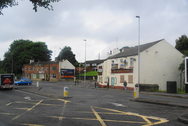
Image: © Bill Boaden Taken: 25 Aug 2012
There is a pub on each side of Wardle Road where it meets Halifax Road, but the Spring Mill Tavern is boarded up.
Images are licensed for reuse under creativecommons.org/licenses/by-sa/2.0
Image Location
Latitude
53.633518
Longitude
-2.134252