2012 : A368 near North Widcombe
Introduction
The photograph on this page of 2012 : A368 near North Widcombe by Maurice Pullin as part of the Geograph project.
The Geograph project started in 2005 with the aim of publishing, organising and preserving representative images for every square kilometre of Great Britain, Ireland and the Isle of Man.

There are currently over 7.5m images from over 14,400 individuals and you can help contribute to the project by visiting https://www.geograph.org.uk
2012 : A368 near North Widcombe
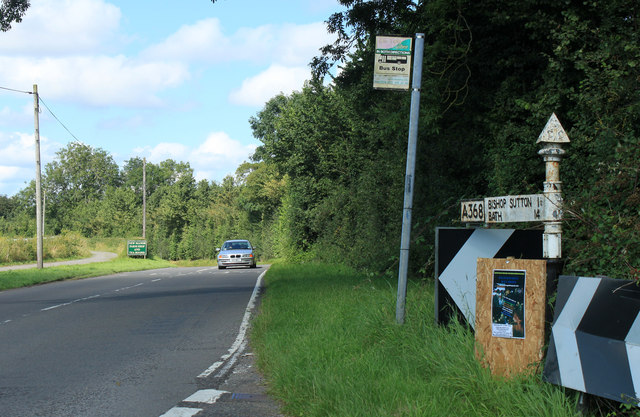
Image: © Maurice Pullin Taken: 20 Aug 2012
Heading north east to Bishop Sutton - one and a quarter miles - and Bath - 14 miles. The green sign indicates the entrance to New Manor Farm Shop and Tea Rooms.
Images are licensed for reuse under creativecommons.org/licenses/by-sa/2.0
Image Location
Latitude
51.323554
Longitude
-2.611441