Horse Mill Lane
Introduction
The photograph on this page of Horse Mill Lane by Chris Heaton as part of the Geograph project.
The Geograph project started in 2005 with the aim of publishing, organising and preserving representative images for every square kilometre of Great Britain, Ireland and the Isle of Man.

There are currently over 7.5m images from over 14,400 individuals and you can help contribute to the project by visiting https://www.geograph.org.uk
Horse Mill Lane
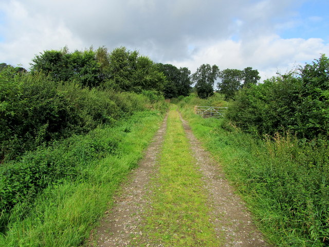
Image: © Chris Heaton Taken: 22 Aug 2012
Grassy track between Ingerthorpe and the A61 at Wormalds Green
Images are licensed for reuse under creativecommons.org/licenses/by-sa/2.0
Image Location


Leaflet Map data © OpenStreetMap
Latitude
54.089958
Longitude
-1.547892