Floodlight housings, St Mary's churchyard
Introduction
The photograph on this page of Floodlight housings, St Mary's churchyard by Robin Stott as part of the Geograph project.
The Geograph project started in 2005 with the aim of publishing, organising and preserving representative images for every square kilometre of Great Britain, Ireland and the Isle of Man.

There are currently over 7.5m images from over 14,400 individuals and you can help contribute to the project by visiting https://www.geograph.org.uk
Floodlight housings, St Mary's churchyard
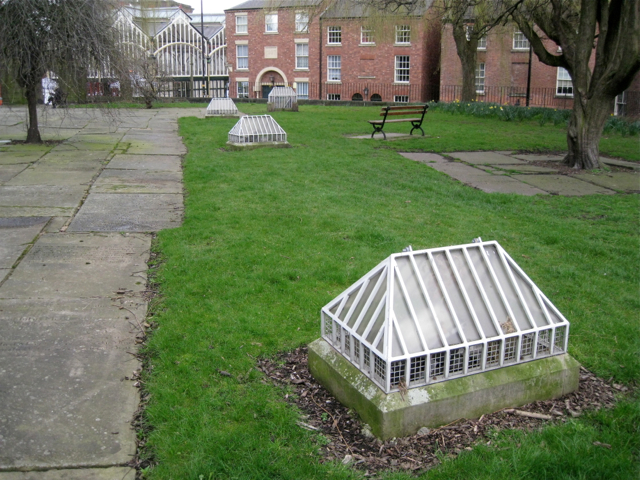
Image: © Robin Stott Taken: 17 Mar 2012
They bear a slight resemblance to Stockport's Market Hall in the background.
Images are licensed for reuse under creativecommons.org/licenses/by-sa/2.0
Image Location
Latitude
53.411389
Longitude
-2.155514