The Wickfield Plantation near Shire Brook
Introduction
The photograph on this page of The Wickfield Plantation near Shire Brook by Jonathan Clitheroe as part of the Geograph project.
The Geograph project started in 2005 with the aim of publishing, organising and preserving representative images for every square kilometre of Great Britain, Ireland and the Isle of Man.

There are currently over 7.5m images from over 14,400 individuals and you can help contribute to the project by visiting https://www.geograph.org.uk
The Wickfield Plantation near Shire Brook
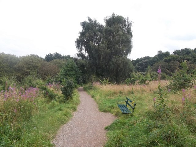
Image: © Jonathan Clitheroe Taken: 24 Aug 2012
Path crossing the plantation from Linley Lane. This site is designated Access Land and one of the few areas of surviving lowland heath in Sheffield.
Images are licensed for reuse under creativecommons.org/licenses/by-sa/2.0
Image Location
Latitude
53.354235
Longitude
-1.396007