The Innisfree, Tokyngton
Introduction
The photograph on this page of The Innisfree, Tokyngton by Jaggery as part of the Geograph project.
The Geograph project started in 2005 with the aim of publishing, organising and preserving representative images for every square kilometre of Great Britain, Ireland and the Isle of Man.

There are currently over 7.5m images from over 14,400 individuals and you can help contribute to the project by visiting https://www.geograph.org.uk
The Innisfree, Tokyngton
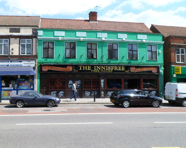
Image: © Jaggery Taken: 13 May 2012
Pub at 30-32 Harrow Road. On researching this location, I noticed that, while still in London, I had left NW10 and the London postal district and entered (in postal terms) the Harrow district. The creation of Greater London in 1965 extended the boundary of London far beyond the London postal district, which was not expanded in step. The changes needed would have been too costly.
Images are licensed for reuse under creativecommons.org/licenses/by-sa/2.0
Image Location
Latitude
51.545961
Longitude
-0.273307