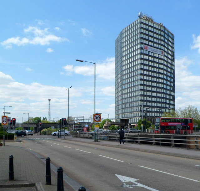
Wembley Point office block, London
Introduction
The photograph on this page of Wembley Point office block, London by Jaggery as part of the Geograph project.
The Geograph project started in 2005 with the aim of publishing, organising and preserving representative images for every square kilometre of Great Britain, Ireland and the Isle of Man.
There are currently over 7.5m images from over 14,400 individuals and you can help contribute to the project by visiting https://www.geograph.org.uk

Image: © Jaggery Taken: 13 May 2012
Viewed across the North Circular Road from the corner of Durand Way. The 80 metre (262ft) high triangular building was constructed in 1963-1965 in what was later known as the Brutalist style - usually characterised by a predominance of concrete, very linear, blockish and like a fortress. To this non-architect, Wembley Point seems to be a less severe example of its type. A more severe example is Trelleck Tower. http://www.geograph.org.uk/photo/2774590

