Approaching Forest Hill Station
Introduction
The photograph on this page of Approaching Forest Hill Station by Dr Neil Clifton as part of the Geograph project.
The Geograph project started in 2005 with the aim of publishing, organising and preserving representative images for every square kilometre of Great Britain, Ireland and the Isle of Man.

There are currently over 7.5m images from over 14,400 individuals and you can help contribute to the project by visiting https://www.geograph.org.uk
Approaching Forest Hill Station
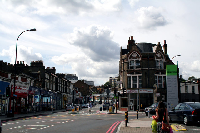
Image: © Dr Neil Clifton Taken: 23 Aug 2012
Road names are not well defined here, but the South Circular (A205) goes off to the right on its sclerotic westward trek, while the pedestrian route to the station goes straight on.
Images are licensed for reuse under creativecommons.org/licenses/by-sa/2.0
Image Location
Latitude
51.439529
Longitude
-0.051995