Catford: Access from Adenmore road to Ladywell Recreation Ground
Introduction
The photograph on this page of Catford: Access from Adenmore road to Ladywell Recreation Ground by Dr Neil Clifton as part of the Geograph project.
The Geograph project started in 2005 with the aim of publishing, organising and preserving representative images for every square kilometre of Great Britain, Ireland and the Isle of Man.

There are currently over 7.5m images from over 14,400 individuals and you can help contribute to the project by visiting https://www.geograph.org.uk
Catford: Access from Adenmore road to Ladywell Recreation Ground
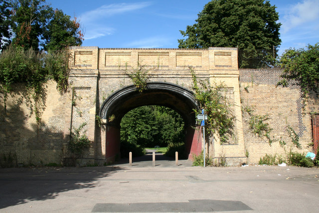
Image: © Dr Neil Clifton Taken: 23 Aug 2012
As can be seen, motor vehicles are not able to make use of this route under a bridge on the Catford Loop railway line; probably few pedestrians do either, but cyclists probably do, as it links with a well-used south-north cycle route.
Images are licensed for reuse under creativecommons.org/licenses/by-sa/2.0
Image Location
Latitude
51.446637
Longitude
-0.025357