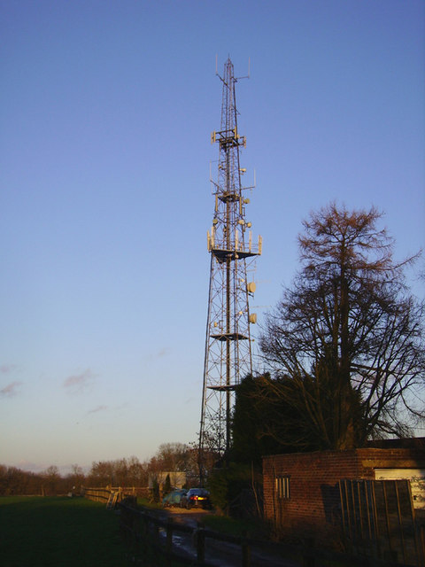
Ibthorpe Radio Site
Introduction
The photograph on this page of Ibthorpe Radio Site by David Neale as part of the Geograph project.
The Geograph project started in 2005 with the aim of publishing, organising and preserving representative images for every square kilometre of Great Britain, Ireland and the Isle of Man.
There are currently over 7.5m images from over 14,400 individuals and you can help contribute to the project by visiting https://www.geograph.org.uk

Image: © David Neale Taken: 10 Jan 2007
This large radio tower stands high on the downs at about 216 metres between the towns of Andover and Newbury off the A343. The actual site is on Pill Heath Farm about 2km west of the village of Ibthorpe. The tower has many operators for local services and mobile phones on it. The tower also makes a great landmark for miles around.

