Holy Trinity Island
Introduction
The photograph on this page of Holy Trinity Island by Alan Murray-Rust as part of the Geograph project.
The Geograph project started in 2005 with the aim of publishing, organising and preserving representative images for every square kilometre of Great Britain, Ireland and the Isle of Man.

There are currently over 7.5m images from over 14,400 individuals and you can help contribute to the project by visiting https://www.geograph.org.uk
Holy Trinity Island
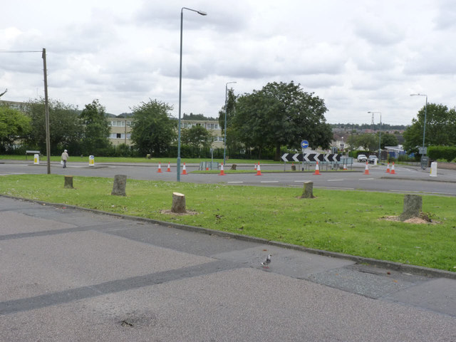
Image: © Alan Murray-Rust Taken: 23 Aug 2012
Preparation for the tram has just started with the felling of trees on the roundabout and the green area in the foreground.
Images are licensed for reuse under creativecommons.org/licenses/by-sa/2.0
Image Location
Latitude
52.896931
Longitude
-1.181186