Track heading North from Bishop Thornton
Introduction
The photograph on this page of Track heading North from Bishop Thornton by Chris Heaton as part of the Geograph project.
The Geograph project started in 2005 with the aim of publishing, organising and preserving representative images for every square kilometre of Great Britain, Ireland and the Isle of Man.

There are currently over 7.5m images from over 14,400 individuals and you can help contribute to the project by visiting https://www.geograph.org.uk
Track heading North from Bishop Thornton
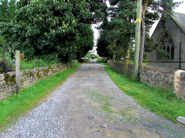
Image: © Chris Heaton Taken: 22 Aug 2012
Track adopted by a bridleway heading north from the church at Bishop Thornton towards Greenhill Farm
Images are licensed for reuse under creativecommons.org/licenses/by-sa/2.0
Image Location
Latitude
54.067222
Longitude
-1.59948