Rufford Tower and Moreton Tower Acton
Introduction
The photograph on this page of Rufford Tower and Moreton Tower Acton by Rod Allday as part of the Geograph project.
The Geograph project started in 2005 with the aim of publishing, organising and preserving representative images for every square kilometre of Great Britain, Ireland and the Isle of Man.

There are currently over 7.5m images from over 14,400 individuals and you can help contribute to the project by visiting https://www.geograph.org.uk
Rufford Tower and Moreton Tower Acton
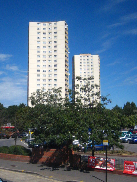
Image: © Rod Allday Taken: 18 Aug 2012
Two 22 storey blocks of flats on the Steyne housing estate, completed in 1968.
Images are licensed for reuse under creativecommons.org/licenses/by-sa/2.0
Image Location
Latitude
51.509549
Longitude
-0.273819