South-east area of Brantham Industrial Estate
Introduction
The photograph on this page of South-east area of Brantham Industrial Estate by Tony Peacock as part of the Geograph project.
The Geograph project started in 2005 with the aim of publishing, organising and preserving representative images for every square kilometre of Great Britain, Ireland and the Isle of Man.

There are currently over 7.5m images from over 14,400 individuals and you can help contribute to the project by visiting https://www.geograph.org.uk
South-east area of Brantham Industrial Estate
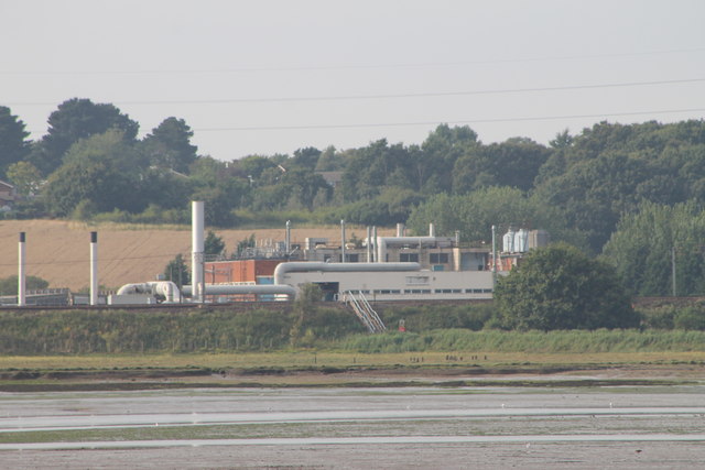
Image: © Tony Peacock Taken: 19 Aug 2012
The Brantham Industrial Area is situated in the south of the Babergh district and has been established and used for industrial purposes since the late 19th century. This image is as seen from Hopping Bridge at Mistley and shows what good planning can achieve in four years. (Just love those long lenses on a clear day - 75 to 300mm seems perfect.)
Images are licensed for reuse under creativecommons.org/licenses/by-sa/2.0
Image Location


Leaflet Map data © OpenStreetMap
Latitude
51.955622
Longitude
1.069209