Cast iron footpath sign (1909) at Brough
Introduction
The photograph on this page of Cast iron footpath sign (1909) at Brough by Neil Theasby as part of the Geograph project.
The Geograph project started in 2005 with the aim of publishing, organising and preserving representative images for every square kilometre of Great Britain, Ireland and the Isle of Man.

There are currently over 7.5m images from over 14,400 individuals and you can help contribute to the project by visiting https://www.geograph.org.uk
Cast iron footpath sign (1909) at Brough
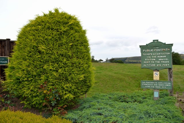
Image: © Neil Theasby Taken: 23 Aug 2012
Leading ramblers to the villages of Hope and Castleton via the site of an old Roman fort.
Images are licensed for reuse under creativecommons.org/licenses/by-sa/2.0
Image Location
Latitude
53.339543
Longitude
-1.728126