Open Plan Estate lost to New Flats at Watermill Lane
Introduction
The photograph on this page of Open Plan Estate lost to New Flats at Watermill Lane by Tony Peacock as part of the Geograph project.
The Geograph project started in 2005 with the aim of publishing, organising and preserving representative images for every square kilometre of Great Britain, Ireland and the Isle of Man.

There are currently over 7.5m images from over 14,400 individuals and you can help contribute to the project by visiting https://www.geograph.org.uk
Open Plan Estate lost to New Flats at Watermill Lane
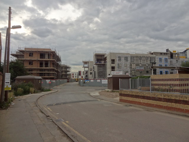
Image: © Tony Peacock Taken: 23 Aug 2012
The open plan estate that is still on Google has gone in favour of this new estate.
Images are licensed for reuse under creativecommons.org/licenses/by-sa/2.0
Image Location
Latitude
51.612894
Longitude
-0.078524