Morgans Mount
Introduction
The photograph on this page of Morgans Mount by Des Blenkinsopp as part of the Geograph project.
The Geograph project started in 2005 with the aim of publishing, organising and preserving representative images for every square kilometre of Great Britain, Ireland and the Isle of Man.

There are currently over 7.5m images from over 14,400 individuals and you can help contribute to the project by visiting https://www.geograph.org.uk
Morgans Mount
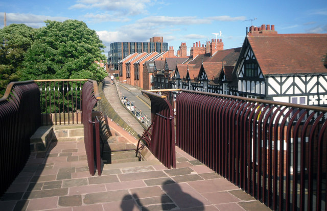
Image: © Des Blenkinsopp Taken: 20 Aug 2012
View along Water Tower Street from the top of the newly refurbished Morgans Mount viewpoint on the city wall. This was the site of a large cannon during the civil war.
Images are licensed for reuse under creativecommons.org/licenses/by-sa/2.0
Image Location
Latitude
53.193383
Longitude
-2.895616