Daft Dog makes for the Strine Brook
Introduction
The photograph on this page of Daft Dog makes for the Strine Brook by Richard Law as part of the Geograph project.
The Geograph project started in 2005 with the aim of publishing, organising and preserving representative images for every square kilometre of Great Britain, Ireland and the Isle of Man.

There are currently over 7.5m images from over 14,400 individuals and you can help contribute to the project by visiting https://www.geograph.org.uk
Daft Dog makes for the Strine Brook
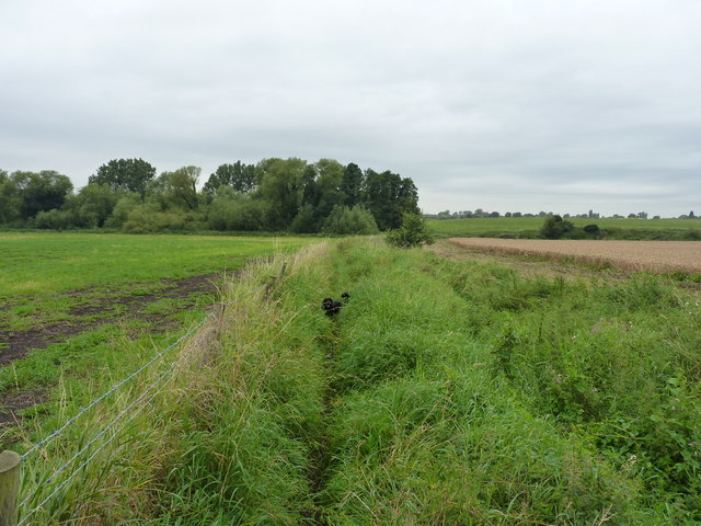
Image: © Richard Law Taken: 19 Aug 2012
On the footpath from Longford to Edgmond. Schoolboy cross-country runs along here in the early 1970s involved a watersplash through the brook, as we weren't allowed to use the bridge. It was an attempt to make us tough. The path also wasn't fenced off from the adjoining fields in those days.
Images are licensed for reuse under creativecommons.org/licenses/by-sa/2.0
Image Location
Latitude
52.764657
Longitude
-2.407951