Arrow Barns, Eardisland
Introduction
The photograph on this page of Arrow Barns, Eardisland by Jaggery as part of the Geograph project.
The Geograph project started in 2005 with the aim of publishing, organising and preserving representative images for every square kilometre of Great Britain, Ireland and the Isle of Man.

There are currently over 7.5m images from over 14,400 individuals and you can help contribute to the project by visiting https://www.geograph.org.uk
Arrow Barns, Eardisland
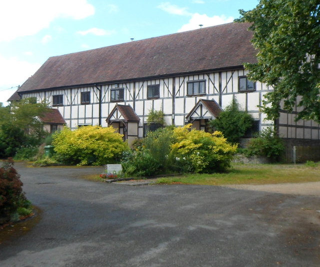
Image: © Jaggery Taken: 22 Aug 2012
Former barns, now four dwellings, set back from the north side of the main road through the village. The River Arrow is nearby.
Images are licensed for reuse under creativecommons.org/licenses/by-sa/2.0
Image Location
Latitude
52.222517
Longitude
-2.853404