Bledington Village Green
Introduction
The photograph on this page of Bledington Village Green by Des Blenkinsopp as part of the Geograph project.
The Geograph project started in 2005 with the aim of publishing, organising and preserving representative images for every square kilometre of Great Britain, Ireland and the Isle of Man.

There are currently over 7.5m images from over 14,400 individuals and you can help contribute to the project by visiting https://www.geograph.org.uk
Bledington Village Green
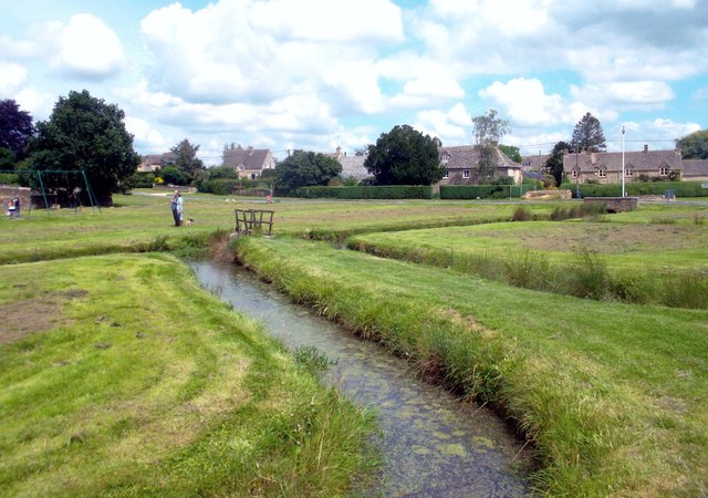
Image: © Des Blenkinsopp Taken: 21 Jul 2012
Showing a detail of the various ditches that intersect the green. A spring is shown on the map just west of here, and the green itself is in the bottom of a shallow valley, so presumably it needs a lot of draining to stop it becoming the Village Swamp.
Images are licensed for reuse under creativecommons.org/licenses/by-sa/2.0
Image Location
Latitude
51.903303
Longitude
-1.647193