Archaeology in Beddington Park
Introduction
The photograph on this page of Archaeology in Beddington Park by Stephen Craven as part of the Geograph project.
The Geograph project started in 2005 with the aim of publishing, organising and preserving representative images for every square kilometre of Great Britain, Ireland and the Isle of Man.

There are currently over 7.5m images from over 14,400 individuals and you can help contribute to the project by visiting https://www.geograph.org.uk
Archaeology in Beddington Park
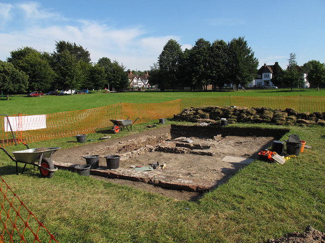
Image: © Stephen Craven Taken: 19 Aug 2012
One of the team from CADHAS (Carshalton & District History & Archaeology Society, http://www.cadhas.org.uk/ ) explained that they were excavating the remains of a house that had once stood on this site, and had exposed the cellar steps.
Images are licensed for reuse under creativecommons.org/licenses/by-sa/2.0
Image Location
Latitude
51.370478
Longitude
-0.141418