Steep field near Stream Lane
Introduction
The photograph on this page of Steep field near Stream Lane by Robin Webster as part of the Geograph project.
The Geograph project started in 2005 with the aim of publishing, organising and preserving representative images for every square kilometre of Great Britain, Ireland and the Isle of Man.

There are currently over 7.5m images from over 14,400 individuals and you can help contribute to the project by visiting https://www.geograph.org.uk
Steep field near Stream Lane
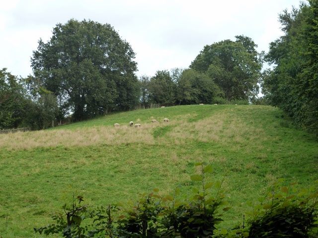
Image: © Robin Webster Taken: 22 Aug 2012
A public footpath goes up the field, and is mapped as keeping to the hedge on the right. In practice the path goes up the middle.
Images are licensed for reuse under creativecommons.org/licenses/by-sa/2.0
Image Location


Leaflet Map data © OpenStreetMap
Latitude
51.034016
Longitude
0.522456