Haydons Road Recreation Ground
Introduction
The photograph on this page of Haydons Road Recreation Ground by Marathon as part of the Geograph project.
The Geograph project started in 2005 with the aim of publishing, organising and preserving representative images for every square kilometre of Great Britain, Ireland and the Isle of Man.

There are currently over 7.5m images from over 14,400 individuals and you can help contribute to the project by visiting https://www.geograph.org.uk
Haydons Road Recreation Ground
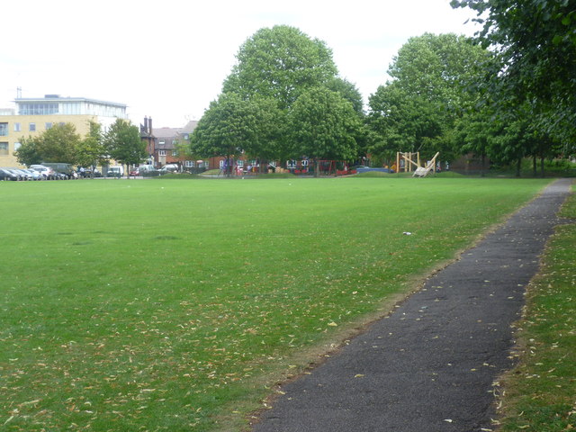
Image: © Marathon Taken: 22 Aug 2012
Haydons Road Recreation Ground is one of the most uninspiring open spaces in the area. Only the playground and the bowling green add any colour - see http://www.geograph.org.uk/photo/3094173
Images are licensed for reuse under creativecommons.org/licenses/by-sa/2.0
Image Location


Leaflet Map data © OpenStreetMap
Latitude
51.419585
Longitude
-0.187752