Eastcote Lane, Northolt
Introduction
The photograph on this page of Eastcote Lane, Northolt by David Howard as part of the Geograph project.
The Geograph project started in 2005 with the aim of publishing, organising and preserving representative images for every square kilometre of Great Britain, Ireland and the Isle of Man.

There are currently over 7.5m images from over 14,400 individuals and you can help contribute to the project by visiting https://www.geograph.org.uk
Eastcote Lane, Northolt
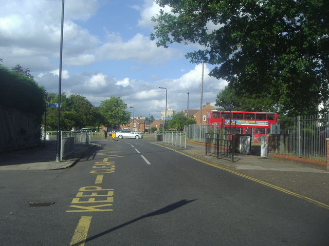
Image: © David Howard Taken: 22 Aug 2012
The school access is on the left, but the road continues over the rail bridge in the opposite direction only to be barred from going beyond by a bus lane although there is nothing else there besides the fenced sides of the bridge.
Images are licensed for reuse under creativecommons.org/licenses/by-sa/2.0
Image Location
Latitude
51.550172
Longitude
-0.372957